Asi Keyi Natural Environment Park

Asi Keyi Natural Environment Park is homeland of the Kluane First Nation and the White River First Nation Peoples. Today, this homeland remains an important place for both Kluane First Nation and White River First Nation Citizens. Traditional use, family ties and stories are inherent in the land.
Asi Keyi, which means "my grandfather's country" in Southern Tutchone, is 2,984-square kilometers of protected area
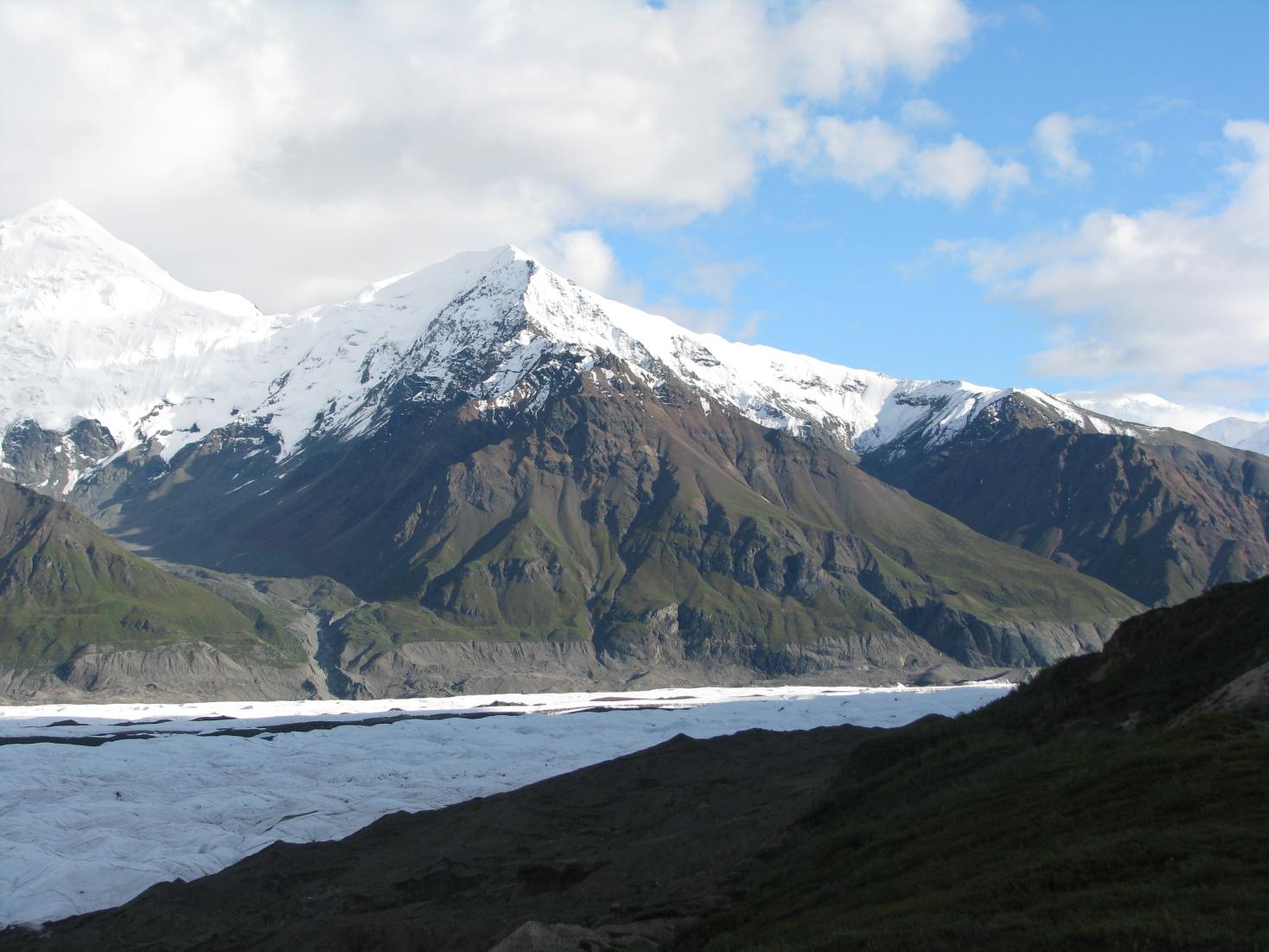
Its landscape has been shaped by many different glacial and volcanic events over the past few hundred thousand years. A caldera (a large, bowl-shaped depression in the ground that forms when a volcano erupts and collapses) between two mountains in Alaska - Mount Bona and Mount Churchill – is the source of much of the volcanic ash blanketing the park today.
The park stretches from the Dań Zhùr Chù - meaning "people berry waters" (Donjek) River west to the Alaska border and from Kluane National Park north to the confluence of the White and Generec rivers. There are several heritage routes through the Asi Keyi Natural Environment Park.
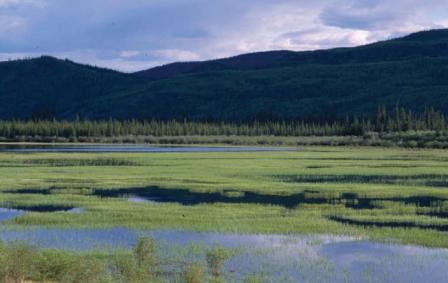
The Park contains many place names for Kluane people, including Klutlan Glacier - Naadha Chù Tan Shį̂ (murky water glacier front), Generc River - Naadha Chù (murky waters, St.Clair and Generc confluence), St. Clair Creek - Naadha Chù (murky/milky/sandy waters), Harris Creek - Thäw Kwanlį Nji (peavine is along), Wolverine Creek - Naamar Chù, and Tepee Lake - Taats’aǎt Mâna (little lake with suckerfish).
Asi Keyi Natural Park is identified under Chapter 10 of the Kluane First Nation Final Agreement and is also part of White River First Nation asserted traditional territory.


