
Lisez nos histoires
Les Premières Nations au Yukon prennent le contrôle de la connectivité dans le Nord
En 2022, 13 sociétés de développement des Premières Nations au Yukon se sont regroupées pour acheter l’infrastructure Internet dans les communautés. C’est la première fois qu’une majorité des Premières Nations d’une région se réunissent pour acheter des actifs de télécommunications.
Un logement qui offre plus qu’un toit : un foyer, une communauté et un lieu pour grandir
En 2014, le Conseil des Ta’an Kwäch’än a dû répondre à un besoin urgent pour ses citoyens et la communauté dans son ensemble. Il a été décidé que la société de développement prendrait les choses en main. La DDDC élaborerait un modèle de logement pour la communauté qui fournirait des solutions de logement aux citoyens du Conseil des Ta’an Kwäch’än et répondrait au besoin accru de logements abordables.
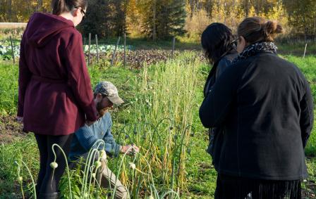
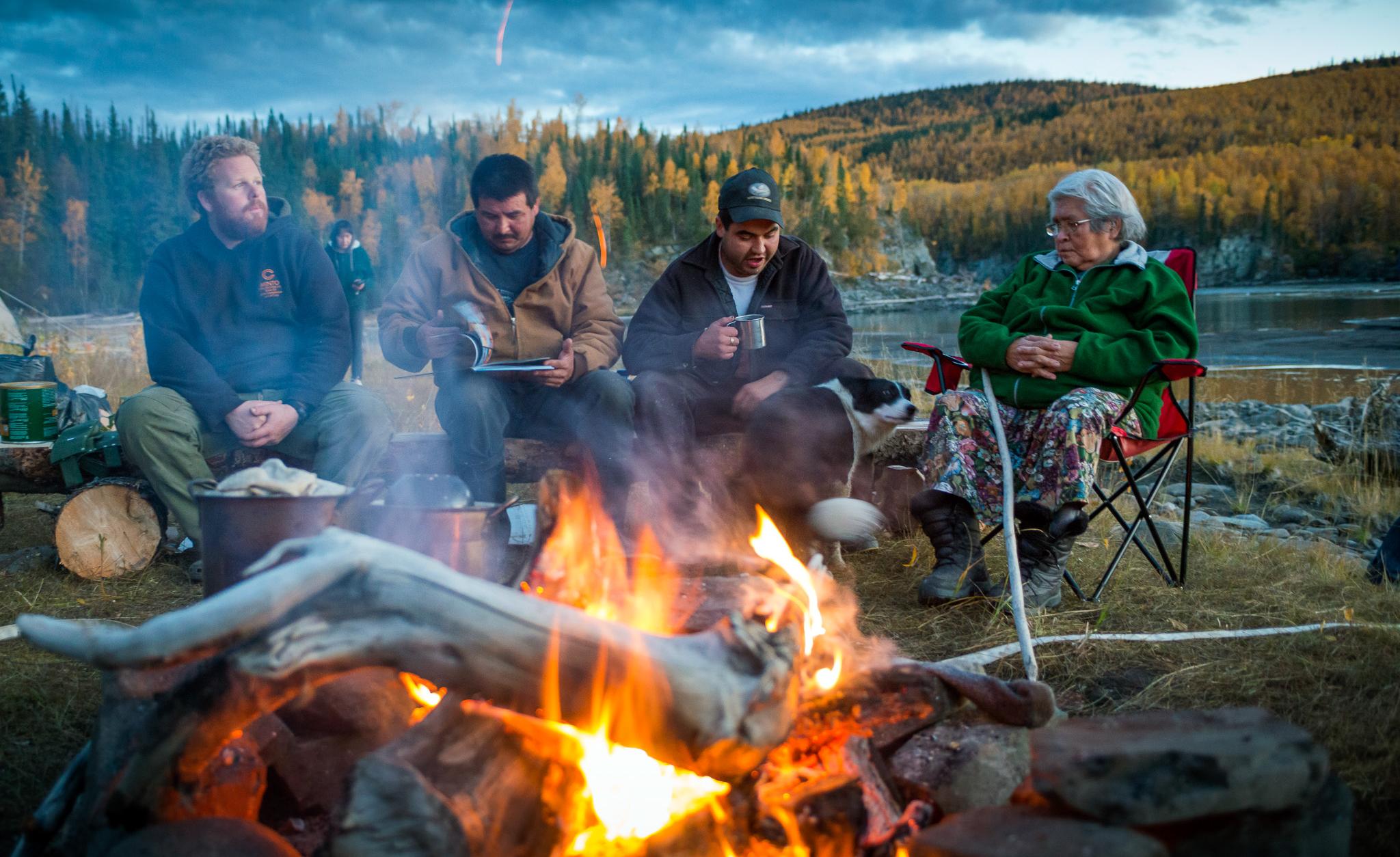
Compléter les aliments récoltés sur le territoire par des denrées provenant de fermes, de jardins et de serres
Du point de vue des Autochtones, la souveraineté et la sécurité alimentaires reposaient sur le gibier sauvage et les aliments trouvés sur le territoire. Les sociétés de développement des Premières Nations ont ouvert la voie en explorant comment les projets agricoles et communautaires, tels que les fermes, les jardins et les serres pourraient contribuer à la croissance et à l’amélioration de l’accès à des aliments de qualité.
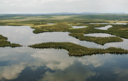
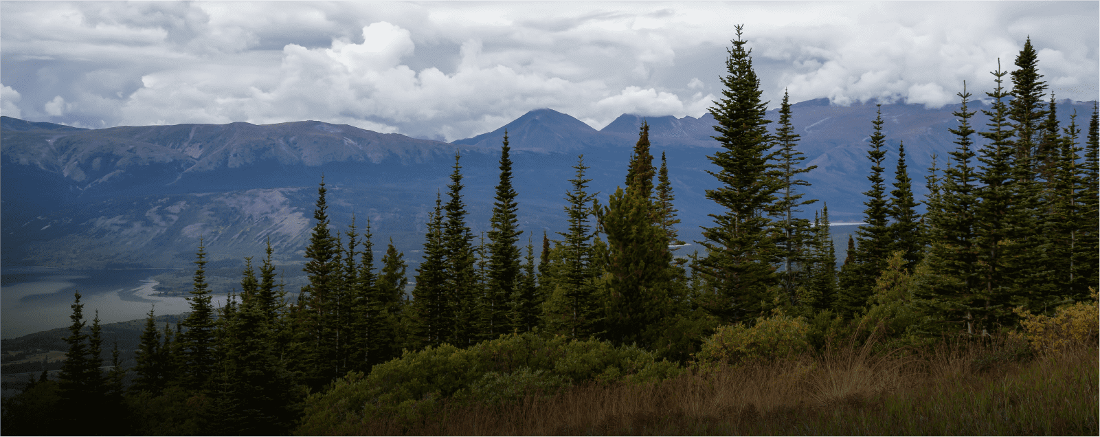
Habitat protégé Ch’ihilii Chìk
Dans le nord du Yukon, l’habitat protégé Ch'ihilii Chìk est un complexe de zones humides situé à environ 115 kilomètres au sud-est de la communauté d’Old Crow, dans le territoire traditionnel de la Première Nation des Vuntut Gwitchin.
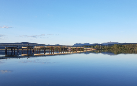
Habitat protégé de Taagísh Tóo’e’/Taagísh Héeni (rivière Tagish)
Les Tagish habitent la région de la Taagísh Tóo'e/Taagísh Héeni (rivière Tagish) depuis des millénaires. Les Tlingit de la côte visitaient cet endroit, s’y réunissaient et entretenaient d’importantes relations économiques avec les Tagish.
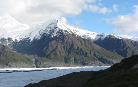
Parc naturel et parc territorial Asi Keyi
Le parc naturel Asi Keyi chevauche le territoire ancestral de la Première Nation de Kluane et de la Première Nation de White River. Encore aujourd’hui, ce territoire revêt une importance essentielle pour leurs citoyens.
Lieux historiques de Zheh Gwatsàl (maison LaPierre ) et de Gindèhchik (maison Rampart)
Les lieux historiques de Zheh Gwatsàl (maison LaPierre) et de Gindèhchik (maison Rampart) font parti de la culture et de l'histoire des Gwich'in Vuntut et sont reconnu dans l'Entente définitive de la Première Nation des Gwitchin Vuntut.
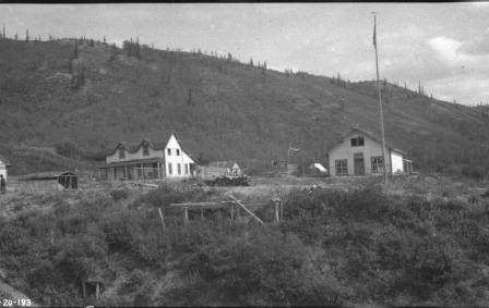
Lieu historique Ch’ëdä Dëk (Forty Mile, Fort Constantine and Fort Cudahy)
Des générations du peuple Hän ont vécu le long de la rivière Fortymile pour chasser le caribou et pêché l'ombre arctique dans la région.
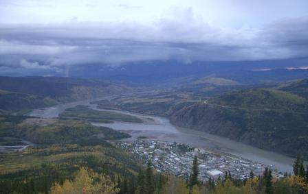
Lieu historique national Tr’ochëk
Visitez le lieu historique national Tr’ochëk situé à la confluence de la rivière Klondike et du fleuve Yukon. Là apprenez l'histoire de ce lieu de rassemblement ancien, riche en ressources minérales naturelles, qui met en lumière le lien entre la terre et le peuple des Tr’ondëk Hwëch’in. La désignation de lieu historique vient de l’Entente définitive des Tr’ondëk Hwëch’in.