
Read our stories
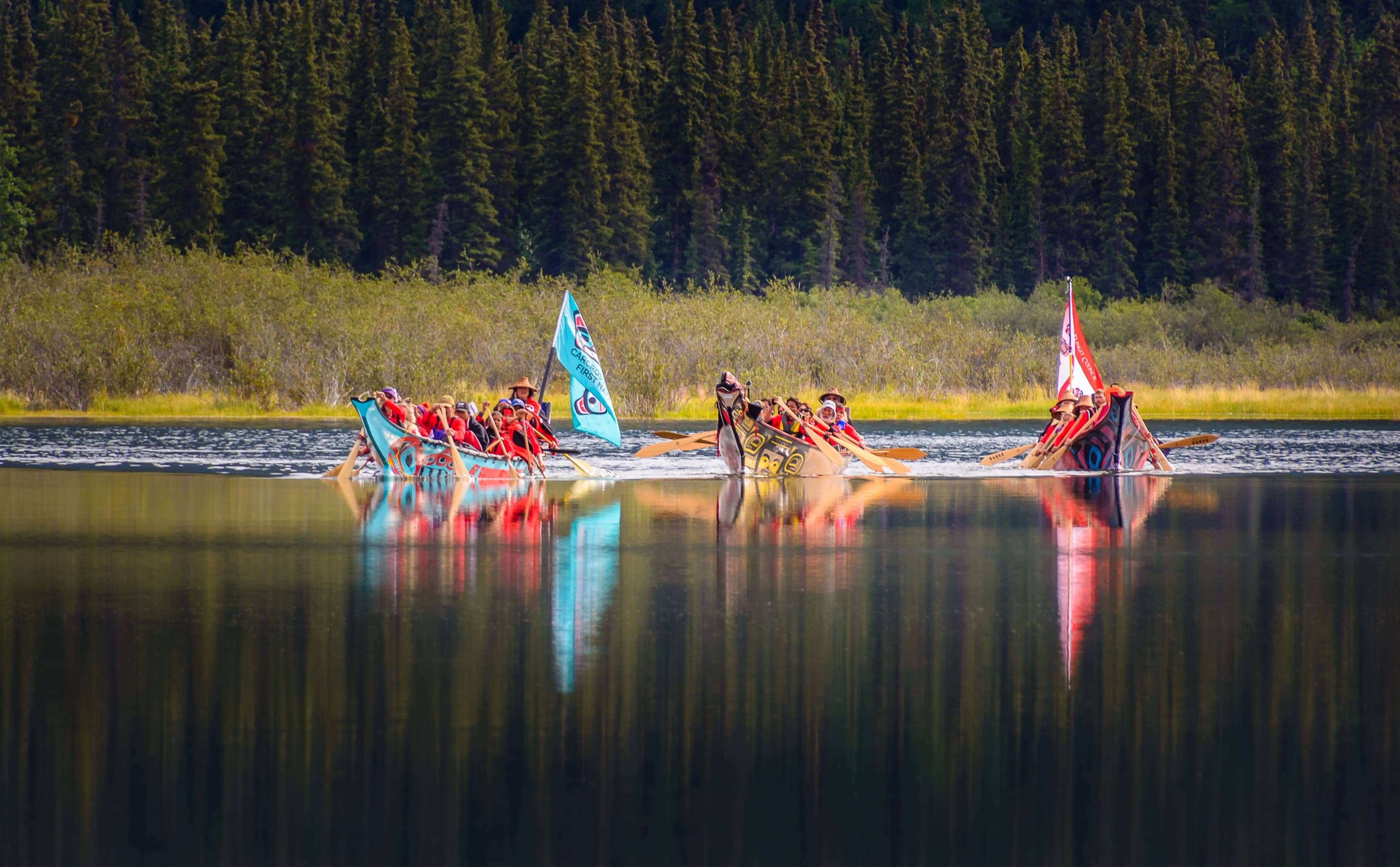
Yukon First Nations Take Ownership of Northern Connectivity
In 2022, 13 Yukon First Nations development corporations came together to purchase in-community internet infrastructure. This is the first time a majority of the First Nations in one region got together to buy Teleco assets.
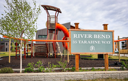
Housing solutions that are more than a roof – they're a home, a community and a place for growth
In 2014, Ta'an Kwäch'än Council faced a pressing need for their Citizens and the community at large. It was decided that the development corporation would take action. The DDDC would develop a housing model for the community that would provide housing solutions for Ta'an Kwäch'än Council Citizens as well as serve the greater need for affordable housing.
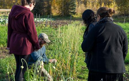
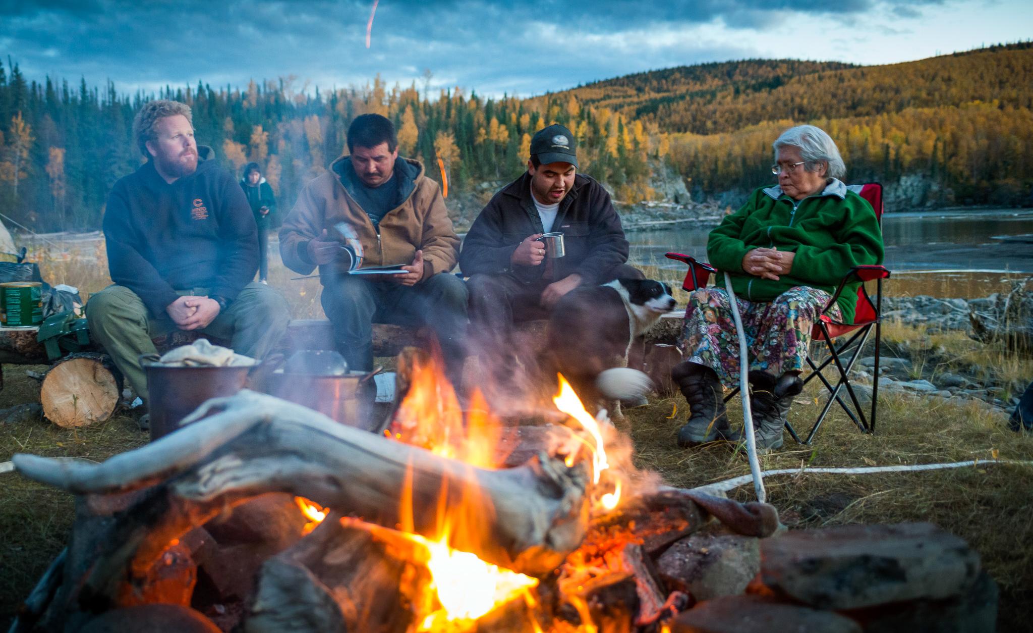
Supplementing land-based foods with foods from farms, gardens and greenhouses
From an Indigenous perspective, food sovereignty and security was based in wild game and land-based foods. The First Nations Development Corporations have been leading the way in exploring how agricultural and community-based projects such as farms, gardens and greenhouses, could help grow and increase access to quality foods.
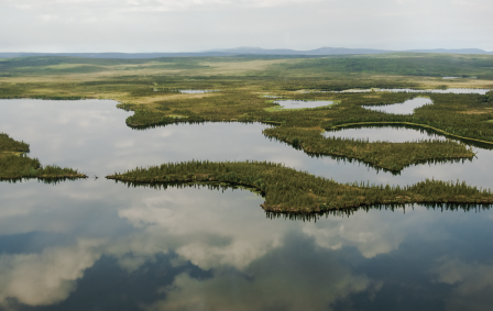
Ch’ihilii Chìk Habitat Protection Area
In Northern Yukon, the Ch’ihilii Chìk Habitat Protection Area is a wetland complex that lies approximately 115 kilometres southeast of the community of Old Crow and is located in Vuntut Gwitchin First Nation’s Traditional Territory.
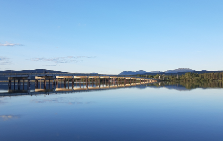
Taagísh Tóo’e’/Taagísh Héeni (Tagish River) Habitat Protection Area
The Tagish People have for millennia called the area of Taagísh Tóo’e/Taagísh Héeni (Tagish River) home. The Coastal Tlingit would visit and gather in this place and held important economic relationships with the Tagish People.
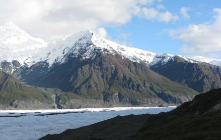
Asi Keyi Natural Environment Park
Asi Keyi Natural Environment Park is homeland of the Kluane First Nation and the White River First Nation Peoples. Today, this homeland remains an important place for both Kluane First Nation and White River First Nation Citizens.
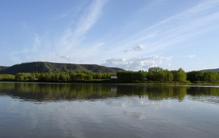
Zheh Gwatsàl (LaPierre House) and Gindèhchik (Rampart House) Historic Sites
The historic sites of Gindèhchik (Rampart House) and Zheh Gwatsàl (LaPierre House), are an important part of Gwich’in culture and history and are recognized in the Vuntut Gwitchin Final Agreement.
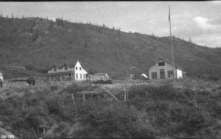
Ch’ëdä Dëk (Forty Mile, Fort Constantine and Fort Cudahy) Historic Site
Generations of Hän people have camped here at the mouth of the Fortymile River to harvest the Fortymile caribou herd and fish for grayling in the area.
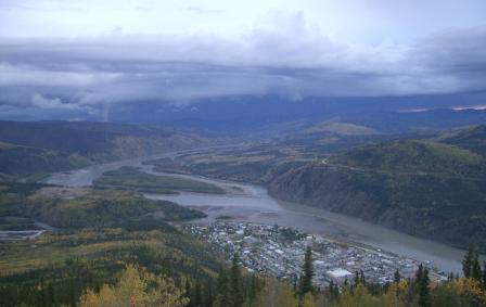
Tr’ochëk National Historic Site
Visit the Tr’ochëk National Historic Site, a vibrant Hän fish camp located at the confluence of the Klondike and Yukon rivers and learn about the key role it played in the survival of the Tr’ondëk Hwëch’in People. This is a designated Heritage Site under the Tr’ondëk Hwëch’in Final Agreement.