
Read our stories
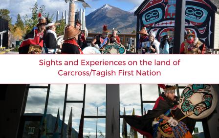
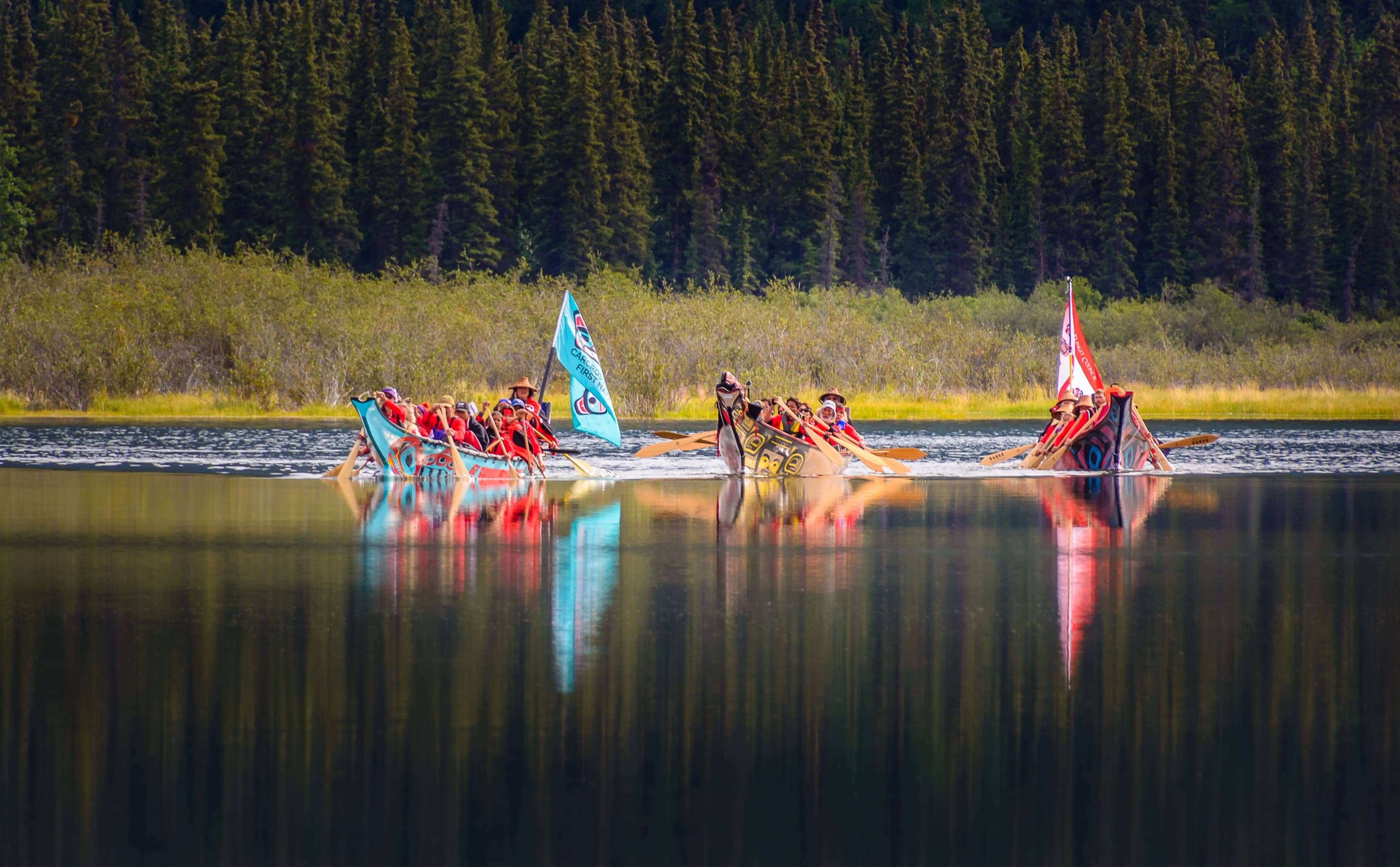
Carcross/Tagish First Nation Points of Interest
There is so much to see and experience in the land of the Carcross/Tagish First Nation, it can be hard to fit it all into one visit. With the help of our friends at Indigenous Yukon, we’ve put together a list of must-see and must-do attractions.
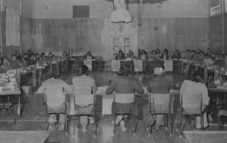
Council of Yukon First Nations
In 1973 the Yukon Native Brotherhood and the Yukon Association of Non-Status Indians came together to form the Council for Yukon Indians – known today as the Council of Yukon First Nations – in order to negotiate land claims on behalf of all Yukon First Nations people.
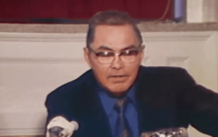
Elijah Smith
Elijah Smith, or Tä Me in Southern Tutchone, was born in Champagne in 1912. In 1973, he led a delegation of Yukon First Nation leaders to Ottawa to present Together Today for our Children Tomorrow to the Prime Minister of Canada, which marked the beginning of modern land claim negotiations in the Yukon.
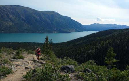
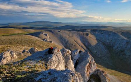
Kusawa Territorial Park
Kusawa Territorial Park is designated as a Special Management Area in two Land Claim Agreements and is part of three Traditional Territories: Carcross/Tagish, Champagne and Aishihik, and Kwanlin Dün First Nations.
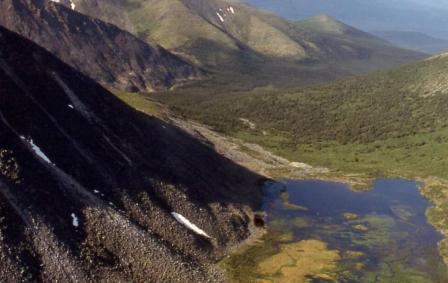
Ddhaw Ghro Habitat Protection Area
The Ddhaw Ghro Habitat Protection Area is an environmentally and culturally rich area located between the Pelly and Stewart Rivers.
Ni''iinlii Njik (Fishing Branch) Territorial Park and Habitat Protection Area
Have you visited Ni''iinlii Njik (Fishing Branch) Territorial Park? Together, the park (whose name means "where fish spawn") and adjacent Habitat Protection Area and Settlement Lands protect a distinct ecosystem in the Traditional Territory of the Vuntut Gwichin First Nation.
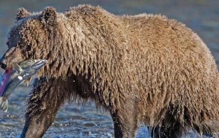
Vuntut National Park
Vuntut National Park was established through the Vuntut Gwitchin First Nation Final Agreement in 1995, to protect the traditional and current Gwich’in way of life, and the water, plants and animals essential to their culture.
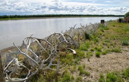
Van Tat K’atr’anahtii (Old Crow Flats) Special Management Area
For millennia, the Gwich’in have lived in and travelled to the Van Tat, British Mountains and Porcupine River area in northern Yukon.
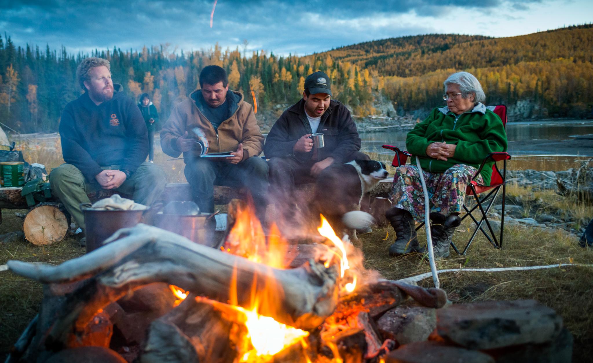
Tséi Zhéłe / Sinwaa Éex’i Yé (Conrad) Historic Site
Tséi Zhéłe / Sinwaa Éex’i Yé (Conrad) Historic Site is a place for sharing, protecting and reconnecting with our heritage and culture.